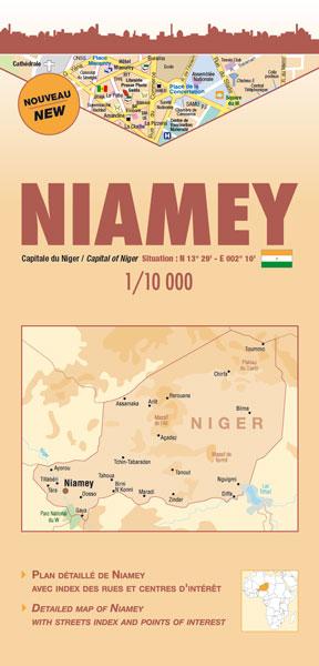
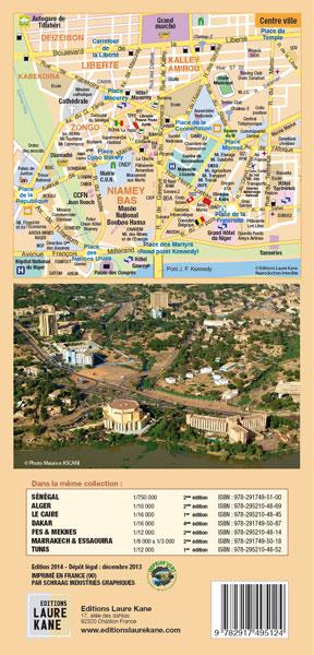
Plan de ville multilingue (français, anglais) avec un index des rues et les points d'intérêt.
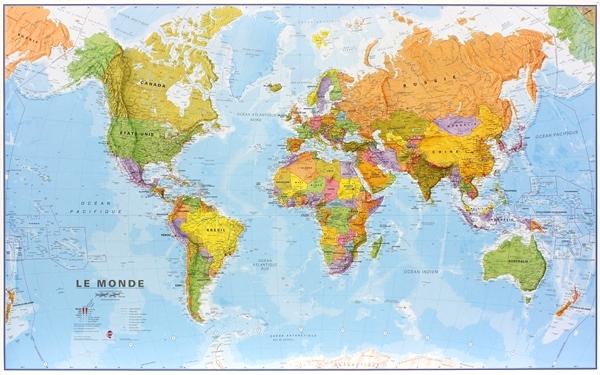
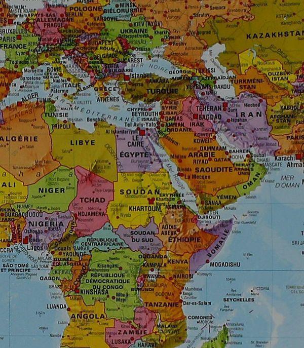
D’une superficie de 255 km2 environ, la ville de Niamey est construite sur deux plateaux surplombant le fleuve Niger, à 218 m d’altitude. Elle est divisée en deux par le fleuve et comporte 5 communes. En 2006, la population est estimée à environ 1 200 000 habitants. Le climat est de type sahélien avec une pluviométrie variant de 500 à 750 mm par an. Période des pluies : de juin à septembre.
- Index des principales rues
- Index des principales ambassades
- Index des principaux centres d’intérêts (places, hôpitaux, bureaux de poste, marchés, musées, stations services, hôtels, etc.)
+ Zoom sur le centre ville
ISBN/EAN : 9782917495124
Date de publication : 2014
Echelle : 1 / 10 000 (1 cm = 100 m)
Impression : recto
Dimensions plié(e) : 12 x 25 cm
Dimensions déplié(e) : 96 cm x 50 cm
Langue(s) : français, anglais
Poids :
80 g