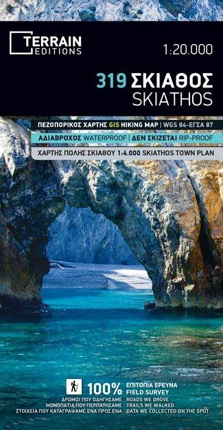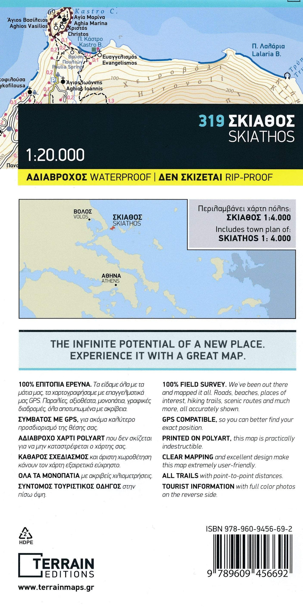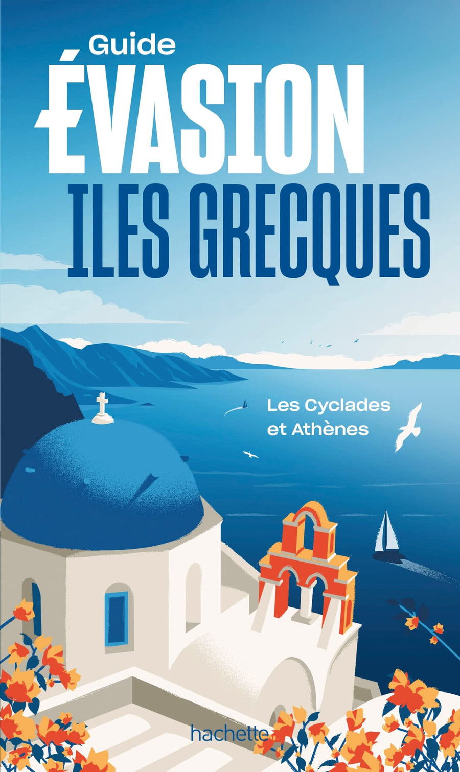


Carte de randonnée - Ile de Skiathos (Grèce) | Terrain Cartography
Prix régulier
11,90 €
Prix régulier
Prix réduit
11,90 €
Écomisez -11,90 €
/
- Expédition sous 24 h ouvrées depuis notre entrepôt en France
- Frais de livraison calculés instantanément dans le panier
- Retours gratuits (*)
- Stocks en temps réel
- En stock
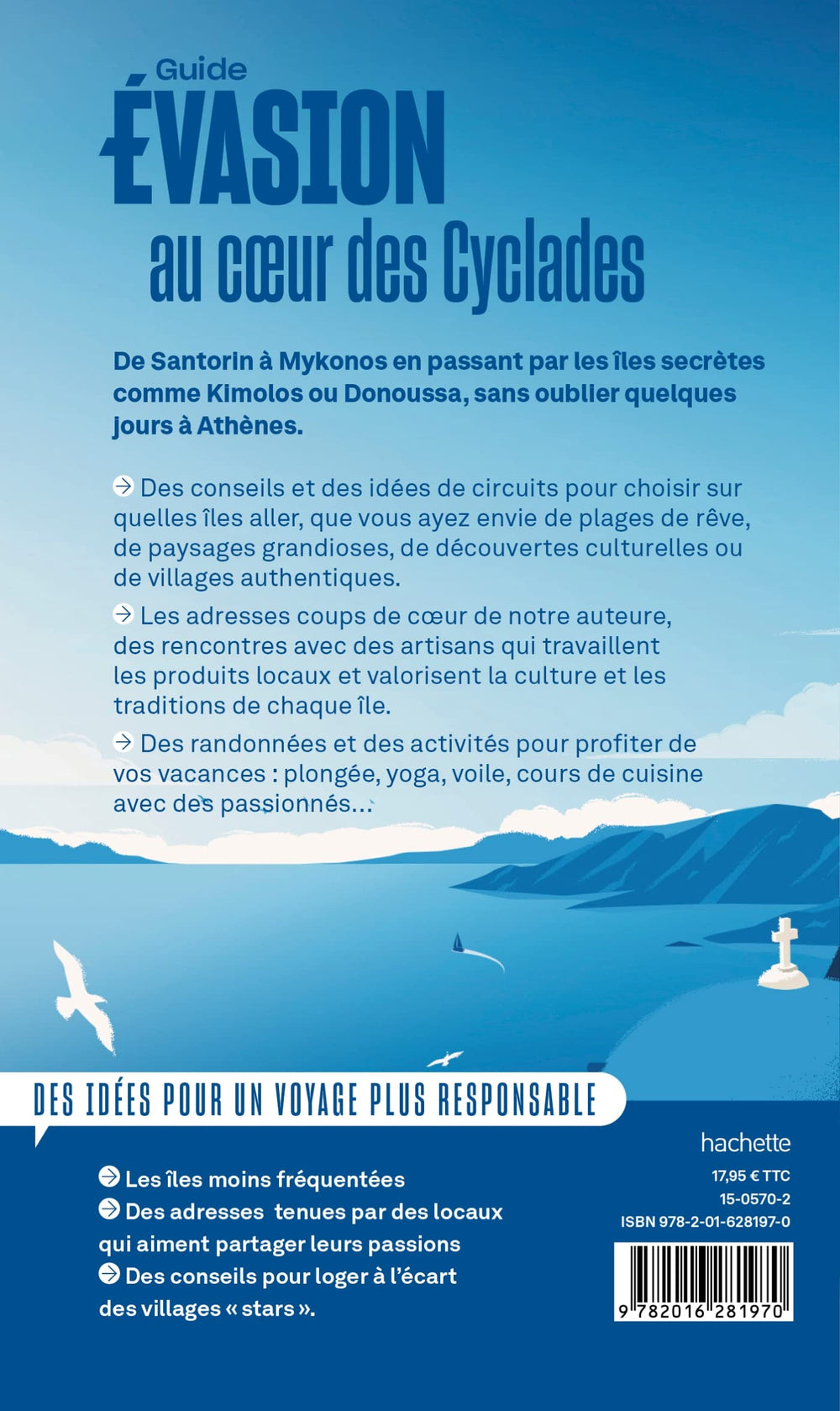
Zones géographiques et catégories liées : Grèce, Iles grecques, Skiathos, Sporades