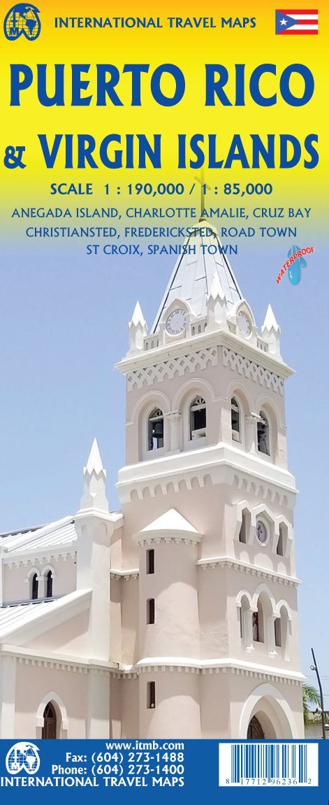
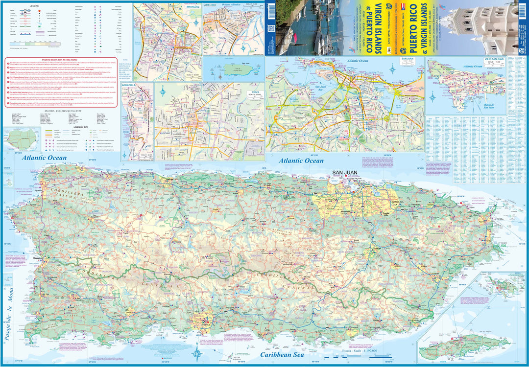
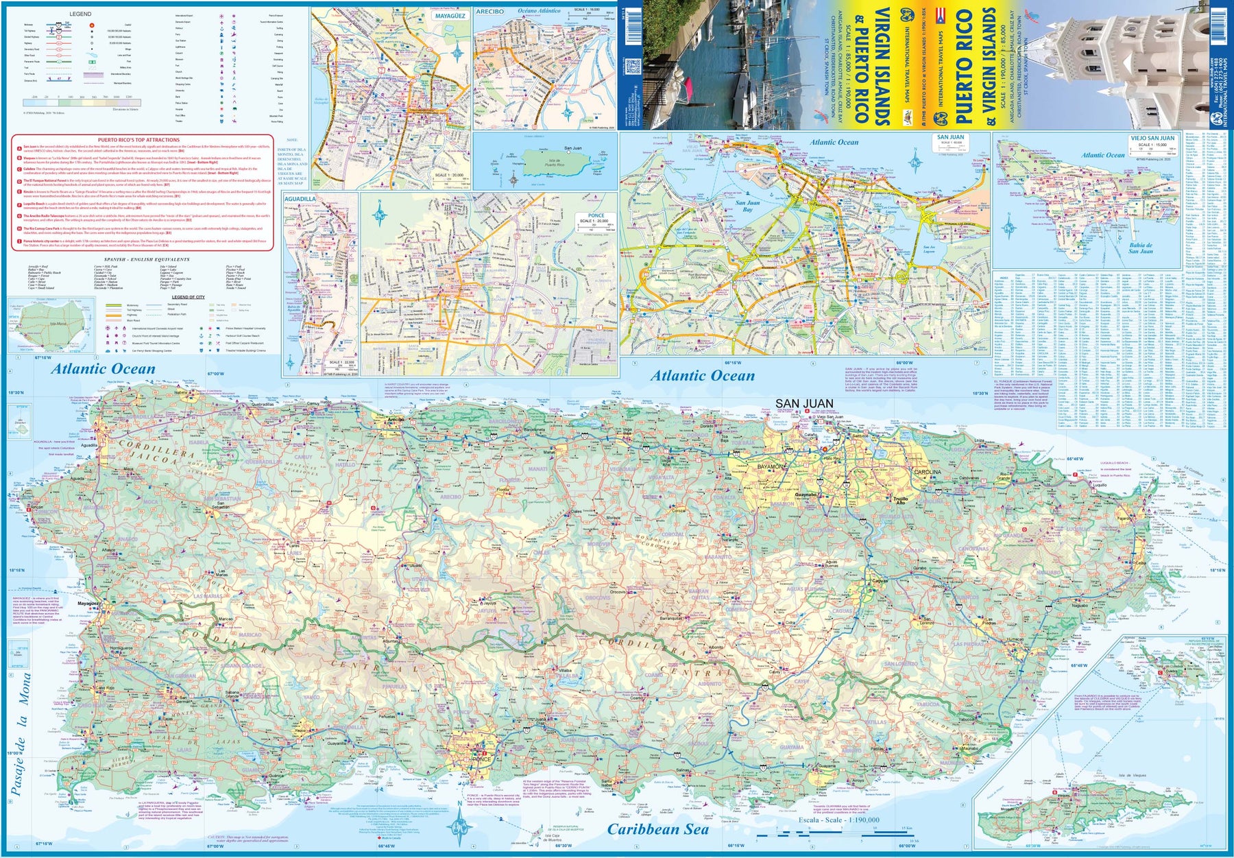
Carte de voyage - Porto Rico & Iles Vierges | ITM carte pliée ITM

Travel Map - Puerto Rico & Virgin Islands | ITM

Travel Map - Puerto Rico & Virgin Islands | ITM

Regular price 12,95 €
/
  • Shipping within 24 working hours from our warehouse in France
  • Delivery costs calculated instantly in the basket
  • Free returns (*)
  • Real-time inventory
  • In stock, ready to ship
  • Backordered, shipping soon
Tax included.

Detailed map of Puerto Rico and Virgin Islands (USA).

The front presents a map of Puerto Rico accompanied by San Juan street plans with an expansion of its old town, Mayaguez, Arecibo, Aguadilla and Ponce, more on the back the US Virgin Islands with Charlotte's plans Amalie with a Expansion of its historic district, Christiansted, Friedensfeld, Frederiksted and Cruz Bay.
All the islands have their topography presented by altitude staining, the US Virgin Islands also have contours at 50 m intervals. < / p>

National parks and other protected areas are highlighted. The road network includes selected roads and locals, and Puerto Rico, the route numbers are clearly displayed. In the US Virgin Islands, ferry itineraries are also indicated. The symbols indicate various places of interest. The map of Puerto Rico and the two panels with the individual American virgin islands: St. Thomas with Saint-Jean, more Sainte-Croix, have lines of latitude and longitude.

The street plan puts in evidence selected accommodations and various places of interest.

The map is printed on waterproof paper and tearing resistant.


ISBN/EAN : 9781771296236
Publication date: 2020
Printed sides: both sides
Folded dimensions: 24.6 x 10.3 x 0.5cm
Unfolded dimensions: 100 x 69cm
Language(s): English
Poids : 77 g

Customer Reviews

No reviews yet
0%
(0)
0%
(0)
0%
(0)
0%
(0)
0%
(0)