Top 25 map # 2934 ET - Bourg - Argental, Pass of the Republic, PNR du Pilat | IGN
Top 25 map # 2934 ET - Bourg - Argental, Pass of the Republic, PNR du Pilat | IGN
Regular price
13,90 €
- Shipping within 24 working hours from our warehouse in France
- Delivery costs calculated instantly in the basket
- Free returns (*)
- Real-time inventory
- Low stock - 2 items left
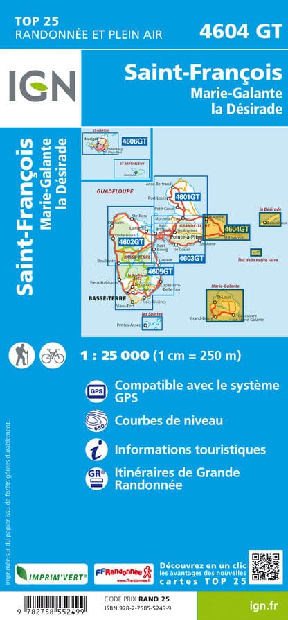
Related geographic locations and collections: Auvergne-Rhône-Alpes, France hiking maps - IGN TOP 25 & SÉRIE BLEUE, Loire (department 42), Massif Central, Massif Central hiking maps - IGN TOP 25 & SÉRIE BLEUE, Pilat Massif