Hiking guide - Aubrac Mountains Tour (GR6, GR60) | FFR (French)

Price
Regular price 18,40 €
Regular price Sale price 18,40 €
Save -18,40 €
/
  • Shipping within 24 working hours from our warehouse in France
  • Delivery costs calculated instantly in the basket
  • Free returns (*)
  • Real-time inventory
  • In stock, ready to ship
  • Backordered, shipping soon
Tax included.

Often purchased together:

"Great hiking" topoguide with detailed sheets that describe 8 days of loop hikes, connecting Aumont - Aubrac, Laguiole and Saint - Chely - of APCHER.

259 km of GR® trails.
Cover: Aumont - Aubrac / Laguiole / Saint - Chely - Apcher.

Between Aveyron, Cantal and Lozère, Aubrac arises such an appearance of lunar soil. A space surrounded by Puechs and lakes, where basalt and granite stones punctuate the paths.

In this green desert, a real prairie of altitude, the man respects the ancestral traditions. The burns revive it from May to October when animals and men go up on the mountain.

On the edge of the villages with massive houses, we notice many granite crosses nicely carved. Other stone terminals, which marked the limits of the great properties of Commanderies (Templars and Hospital), punctuate the course.

This topo - guide offers many possibilities to build its itinerary, between 2 and 8 days walk.


ISBN/EAN : 9782751412967
Publication date: 2024
Pagination: 72 pages
Folded dimensions: 21x13cm
Language(s): French
Poids : 174 g

Customer Reviews

Based on 2 reviews
100%
(2)
0%
(0)
0%
(0)
0%
(0)
0%
(0)
R
Richard K. (Clermont-Ferrand, FR)
Excellent !

Livraison conforme à ma commande et reçu dans les délais.

S
Sylvie M. (Paris, FR)

Reçu rapidement à la hauteur de mes espérances merci

CampingCard ACSI - Carte de réductions & Guide - Europe 2024 guide pratique ACSI
CampingCard ACSI - Carte de réductions & Guide - Europe 2022 guide pratique ACSI
CampingMap ACSI - Discounts Map & Guide - Europe (French)
ACSI
21,95 €
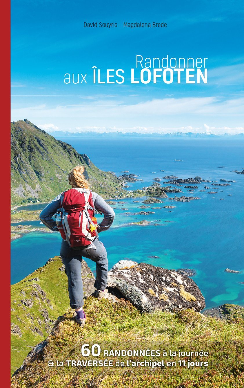
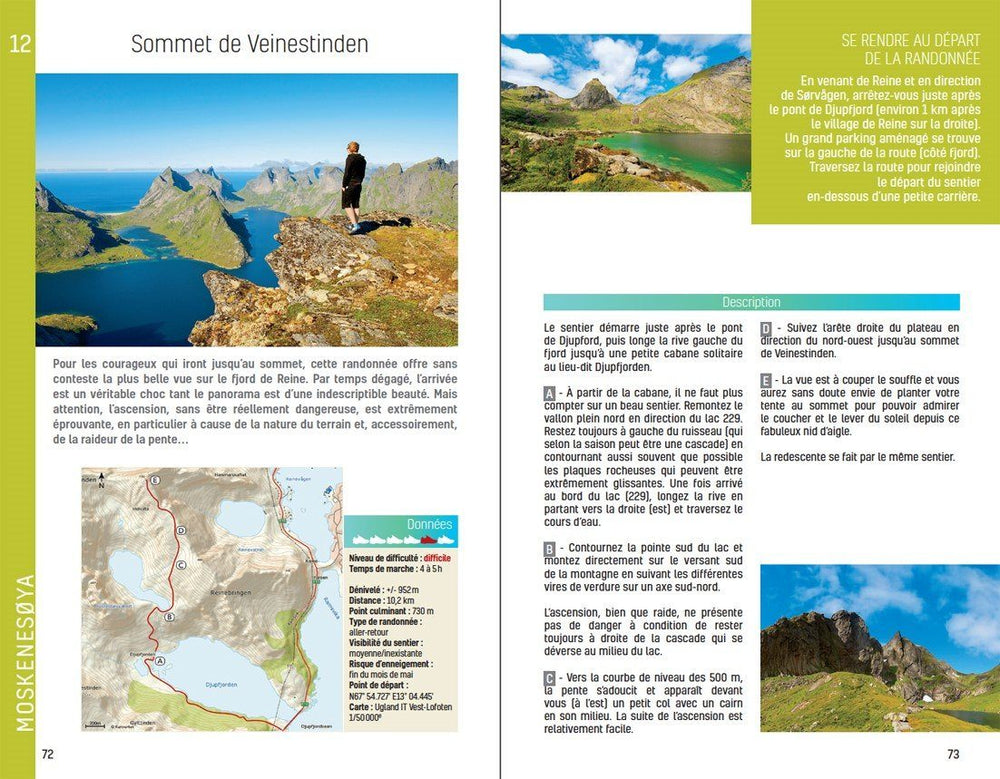
Guide - Randonner aux îles Lofoten guide de randonnée Topo Guide Lofoten
Guide - Hiking to the Lofoten Islands
Topo Guide Lofoten
29,00 €
Guide de randonnée - Madère | Rother guide de randonnée Rother
Guide de randonnée - Madère | Rother guide de conversation Rother
Hiking guide - Madeira | Rother (French)
Rother
18,00 €
Guide de randonnée - Ténérife | Rother guide de randonnée Rother
Hiking guide - Tenerife | Rother (French)
Rother
18,00 €