Topoguide de randonnée - Sentiers de l'Est de la Belgique - GR56 (Belgique) | Les Sentiers de Grande Randonnée guide de randonnée Les Sentiers de Grande Randonnée

Hiking guide - Eastern Townships & High Park Hautes Fagnes - Eifel - GR56 (Belgium) | The trails of great hiking (French)

Price
Regular price 24,90 €
Regular price Sale price 24,90 €
Save -24,90 €
/
  • Shipping within 24 working hours from our warehouse in France
  • Delivery costs calculated instantly in the basket
  • Free returns (*)
  • Real-time inventory
  • In stock, ready to ship
  • Backordered, shipping soon
Tax included.

Often purchased together:

The GR56, the Eastern Townships and the High Fagnes Natural Park - Eifel.
It is no coincidence that the GR56 is one of the oldest traces of great hike from Belgium: the eastern end of the country has always been a privileged area for hiking.
Nature is present everywhere: you will walk in woods and forests, moors and herbage sectors. You will also hike along the Warche and its dams, from the upper course of the Amblève and streams to the valleys lost at the end of the world (Perlenbach, Olef, Bayehon, Trô Marets).

You will also visit charming small towns (Saint - Vith, Malmedy, Montjoie) and villages at typical houses and well - enhanced churches and chapels (Manderfeld, Auel, Wiesenbach, Schoenberg, Reland).


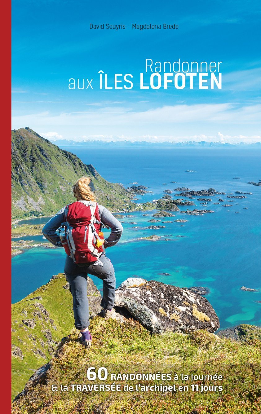
ISBN/EAN : 9782931078228
Publication date: 2022
Pagination: 128 pages
Folded dimensions: 14 x 21cm
Language(s): French
Poids : 200 g

Customer Reviews

Based on 2 reviews
50%
(1)
0%
(0)
0%
(0)
50%
(1)
0%
(0)
J
Johanna (Brussels, BE)
Not enough information

Not enough info about possibilities to stay for the night, no detailed information about high meters or height profile- the things I want to know from a hiking guide.

C
Christophe R. (Bondy, FR)

Très bien.

CampingCard ACSI - Carte de réductions & Guide - Europe 2024 guide pratique ACSI
CampingCard ACSI - Carte de réductions & Guide - Europe 2022 guide pratique ACSI
CampingMap ACSI - Discounts Map & Guide - Europe (French)
ACSI
21,95 €
Guide - Randonner aux îles Lofoten guide de randonnée Topo Guide Lofoten
Guide - Hiking to the Lofoten Islands
Topo Guide Lofoten
29,00 €
Guide de randonnée - Madère | Rother guide de randonnée Rother
Guide de randonnée - Madère | Rother guide de conversation Rother
Hiking guide - Madeira | Rother (French)
Rother
18,00 €
Guide de randonnée - Ténérife | Rother guide de randonnée Rother
Hiking guide - Tenerife | Rother (French)
Rother
18,00 €