The Catalan country consists of several regions with a strong geographical and human identity: the plain of the Roussillon, the Corbières, the Vermeille Coast, the Albères, the Vallespir, conflencing it, the Cerdagne, to chat, not to mention the fenouillède located at the limits of the limits. Occitan country.
The Guideon access to the Mediterranean coast, coastal ponds, pyrenean valleys and high peaks. There are for all tastes, in 20 essential walks together in a small price. Ideal for short stays.
The guide:
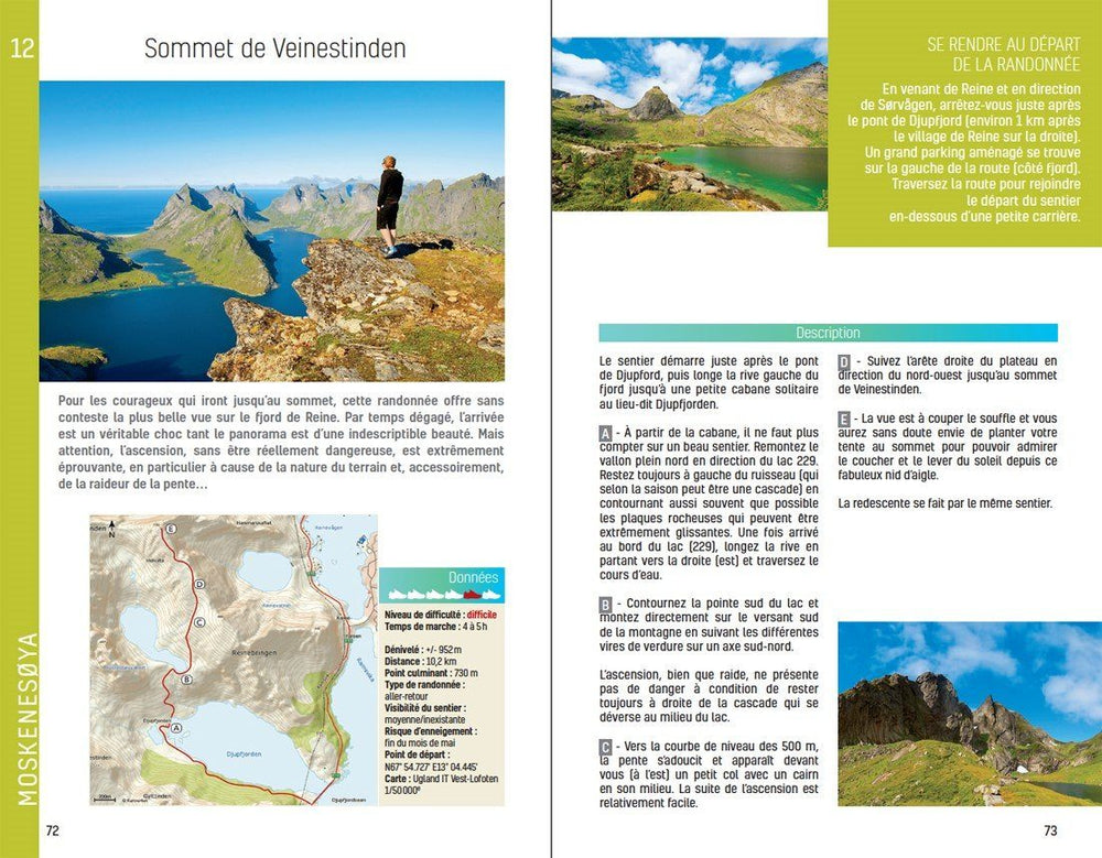
- 48 pages
- Practical format: 12 x 21 cm
- General introduction with presentation of the territory (several developed topics that enrich the knowledge of the crossings crossed)
- 20 routes from 1:30 to 5:30 for a family and sports practice
- Cartography on IGN background at 1:25 000 to easily locate
- Details of interest centers
- Practical information for safe hikes
- Useful addresses.
ISBN/EAN : 9782844662156
Publication date: 2012
Folded dimensions: 21x14cm
Language(s): French
Poids :
110 g


