Waterfalls Guide - Massif Central | Chamina

Price
Regular price 15,00 €
Regular price Sale price 15,00 €
Save -15 €
/
  • Shipping within 24 working hours from our warehouse in France
  • Frais de livraison calculés instantanément dans le panier
  • Retours gratuits (*)
  • Stocks en temps réel
  • In stock, ready to ship
  • Backordered, shipping soon
Tax included.

Souvent achetés ensemble :

A veritable water tower, the Massif Central is the largest mountain range in France offering an immense diversity of landscapes and natural environments. Water is an essential component, and has always participated in shaping this territory, between glacial valleys, volcanic lakes, peat bogs...
Thanks to this richly illustrated book, discover the most beautiful waterfalls! More than a hundred waterfalls spread over 57 sites, in the departments of Puy - de - Dôme, Cantal, Haute - Loire, Lozère and Corrèze. A beautiful practical book that gives road and pedestrian access, as well as GPS coordinates to locate departures.

Strong points :
For each site:
- GPS coordinates
- Road and pedestrian access
- Levels of difficulty of access to the sites
- Directions for access for people with reduced mobility
- A section “To do/to see nearby”

• A richly illustrated book
• Geographical division according to natural regions
• Practical information on safety and good behavior to adopt


ISBN/EAN : 9782844665997
Publication date: 2022
Pagination: 96 pages
Folded dimensions: 21x14cm
Language(s): French
Poids : 297 g

Customer Reviews

Based on 1 review
100%
(1)
0%
(0)
0%
(0)
0%
(0)
0%
(0)
D
Duverney (Le Cendre, FR)
Carte

Le guide serait très enrichi pour utilisateur, s'il proposait une carte avec une icône positionnée (approximativement) pour chaque cascade décrite. Cela permettrait de faciliter l'organisation d'un voyage qui visiterait toutes ou parties de ces cascade...
Ou bien si c'est un parti pris..., je ne le comprends pas.

CampingCard ACSI - Carte de réductions & Guide - Europe 2024 guide pratique ACSI
CampingCard ACSI - Carte de réductions & Guide - Europe 2022 guide pratique ACSI
CampingMap ACSI - Discounts Map & Guide - Europe (French)
ACSI
21,95 €
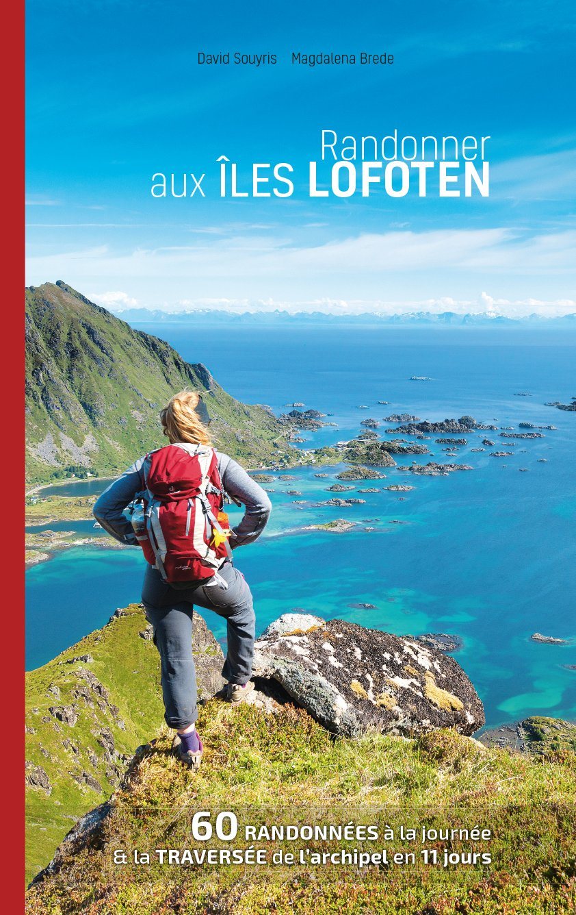
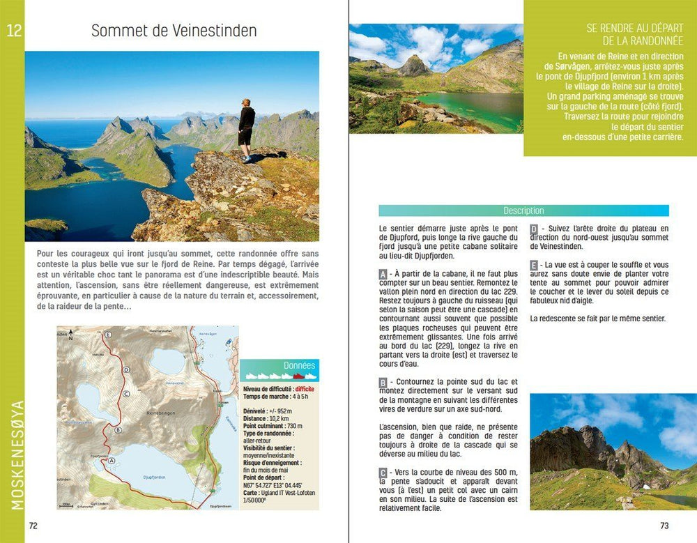
Guide - Randonner aux îles Lofoten guide de randonnée Topo Guide Lofoten
Guide - Hiking to the Lofoten Islands
Topo Guide Lofoten
29,00 €
Guide de randonnée - Madère | Rother guide de randonnée Rother
Guide de randonnée - Madère | Rother guide de conversation Rother
Hiking guide - Madeira | Rother (French)
Rother
18,00 €
Guide de randonnée - Ténérife | Rother guide de randonnée Rother
Hiking guide - Tenerife | Rother (French)
Rother
18,00 €