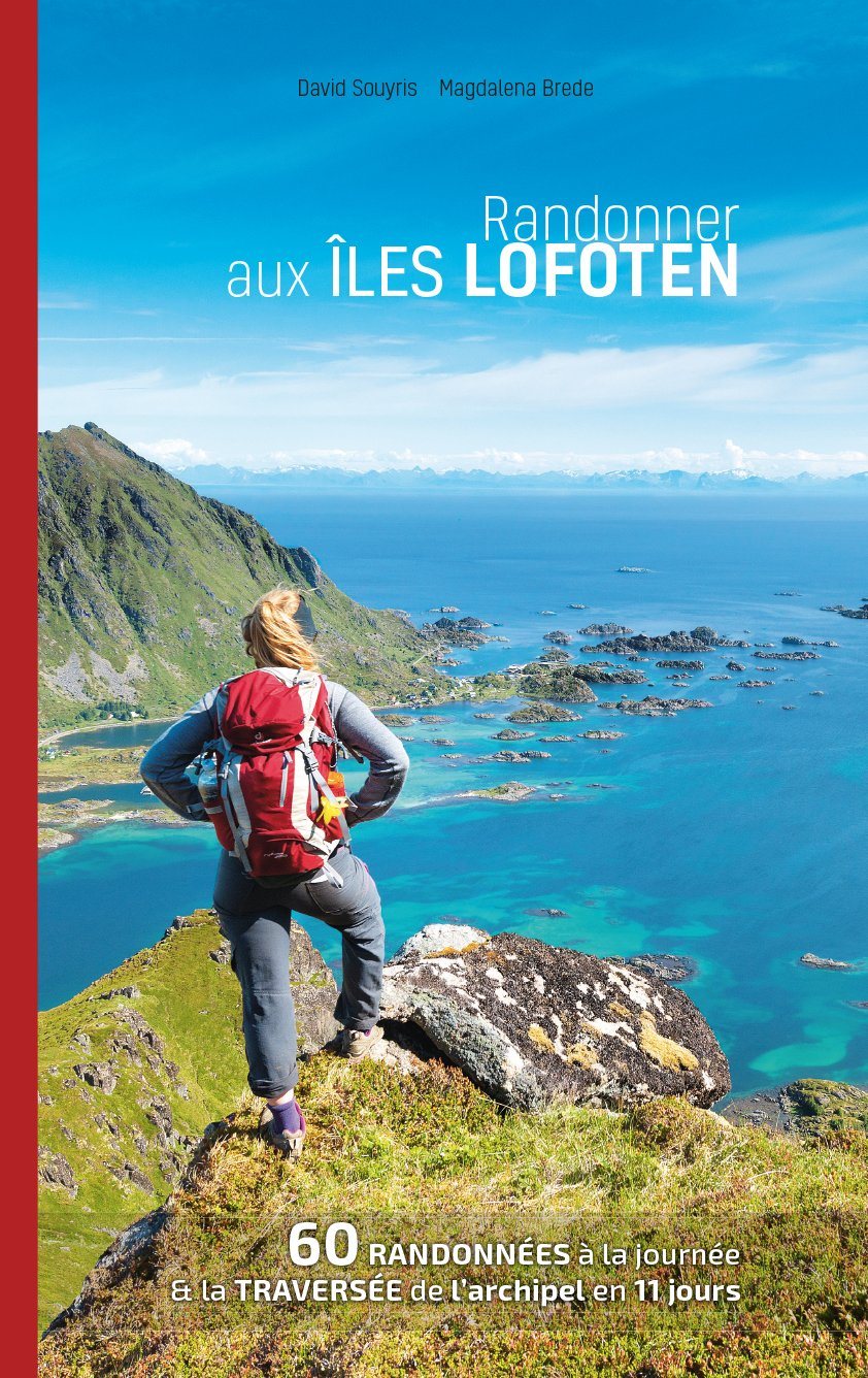
Burgundy Hiking guide edited by Rother with many routes, especially in the Morvan Natural Park. Summary and Example - Type in Photo. All routes have a complete description, detailed map extracts and informative altitude profiles.
152 pages, 73 color photos, 50 altitude profiles, 50 maps at 1:25 000 / 1:50 000 / 1:75 000, a synoptic map at 1: 800 000.
Description of the publisher:
Burgundy is famous for the excellence of its wines, its gastronomy and its many historical and religious monuments. But to go hiking? Few are those who think about it, rightly. The landscape is very varied, and we are often alone on the paths.
The Rother "Burgundy" Hiking guide focuses on the Morvan Natural Park. A pretty region with covered hills of forests, with a rich flora and fauna and many enchanting lakes. The highest summit is only 901 meters away, but it should not be underestimated. The rock formations of the Saussois and Bouillaland can even provide "alpine" sensations. In the North, there is also a landscape of hills with meadows, pastures and forests. To the west, the hikes cross the valleys of two rivers still saplateau de Saône and in the marshlands of the Bresse with its many ponds. Finally, south, the paths pass through soft hills and lush pastures where the famous Charolais oxens are grazing. Many channels crisscross the area and invite to stroll quietly on their banks.
Burgundy is an ideal area for all those who like to associate hiking and culture with the pleasures of the table, and the guide of the table. Rother hike will be a reliable companion. Detailed route descriptions are complemented by many indications on history and information on the most beautiful excursions. The routes are easy to follow safely thanks to detailed map extracts with indication of the itinerary as well as appropriate altimetric profiles. The level of difficulty represented by colors facilitates the choice of routes.
ISBN/EAN : 9783763349456
Publication date: 2019
Pagination: 152 pages
Folded dimensions: 12 x 17cm
Language(s): French
Poids :
180 g