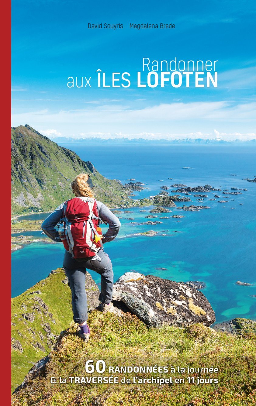
The Cevennes form a mountain range that is part of the central massif. Located between the department of Gard and Lozère, they culminate at 1699 m altitude, at the peak of finished. The whole area is covered by the topoguide, between Florac, Bessèges, Alès, Anduze and Saint - André - de - Valborgne.
The guide:
• General introduction with presentation of the territory (several developed topics that enrich the knowledge of the crossings crossed)
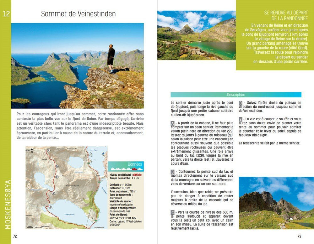
• 22 routes from 1:45 to 5:30 for a family and sports practice
• Mapping on IGN background at 1:25 000 to easily locate
• Details of interest centers
• Practical information and useful addresses.
The Cevennes form a mountain range that is part of the central massif. Located between the department of Gard and Lozère, they culminate at 1699 m altitude, at the peak of finished. The whole area is covered by the topoguide, between Florac, Bessèges, Alès, Anduze and Saint - André - de - Valborgne.
The guide:
• General introduction with presentation of the territory (several developed topics that enrich the knowledge of the crossings crossed)
• 22 routes from 1:45 to 5:30 for a family and sports practice
• Mapping on IGN background at 1:25 000 to easily locate
• Details of interest centers
• Practical information and useful addresses.
ISBN/EAN : 9782844663726
Publication date: 2016
Folded dimensions: 21x14cm
Language(s): French
Poids :
108 g