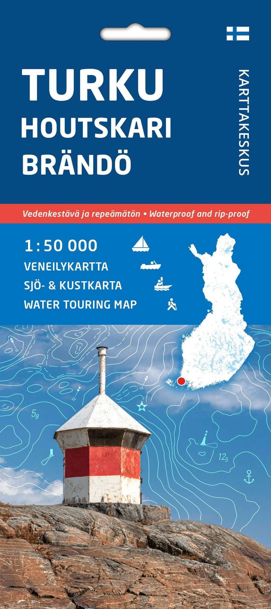
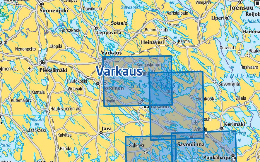
Nautical chart n° 29 - Turku Houtskari Brändö veneilykartta (Finland) | Karttakeskus
Nautical chart n° 29 - Turku Houtskari Brändö veneilykartta (Finland) | Karttakeskus
Regular price
25,95 €
- Shipping within 24 working hours from our warehouse in France
- Delivery costs calculated instantly in the basket
- Free returns (*)
- Real-time inventory
- In stock, ready to ship
Related geographic locations and collections: Finland - Karttakeskus navigation maps, Hiking in Finland, Hiking in Scandinavia