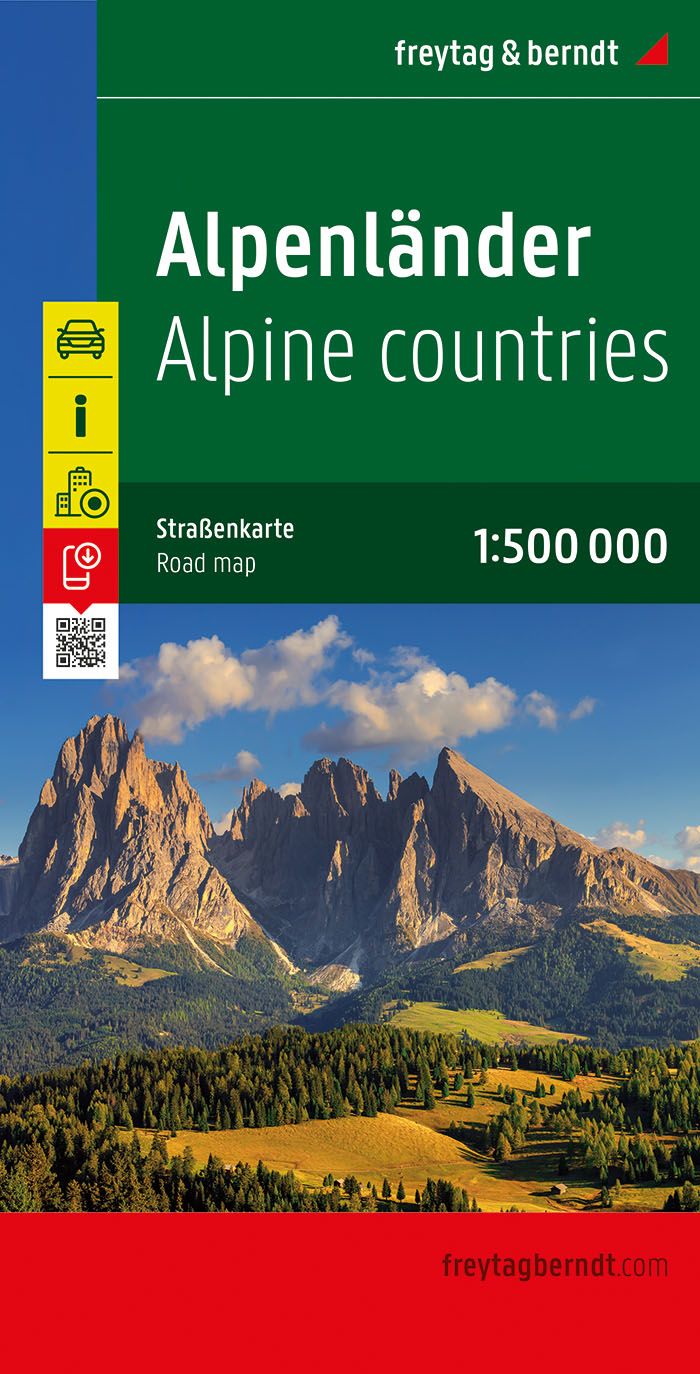
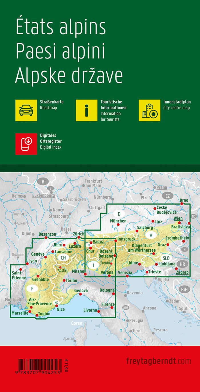
Regional Map # 15: Auvergne - Rhône Alpes (Alpine massif) | IGN
Regional Map # 15: Auvergne - Rhône Alpes (Alpine massif) | IGN
Regular price
6,80 €
- Shipping within 24 working hours from our warehouse in France
- Delivery costs calculated instantly in the basket
- Free returns (*)
- Real-time inventory
- In stock, ready to ship
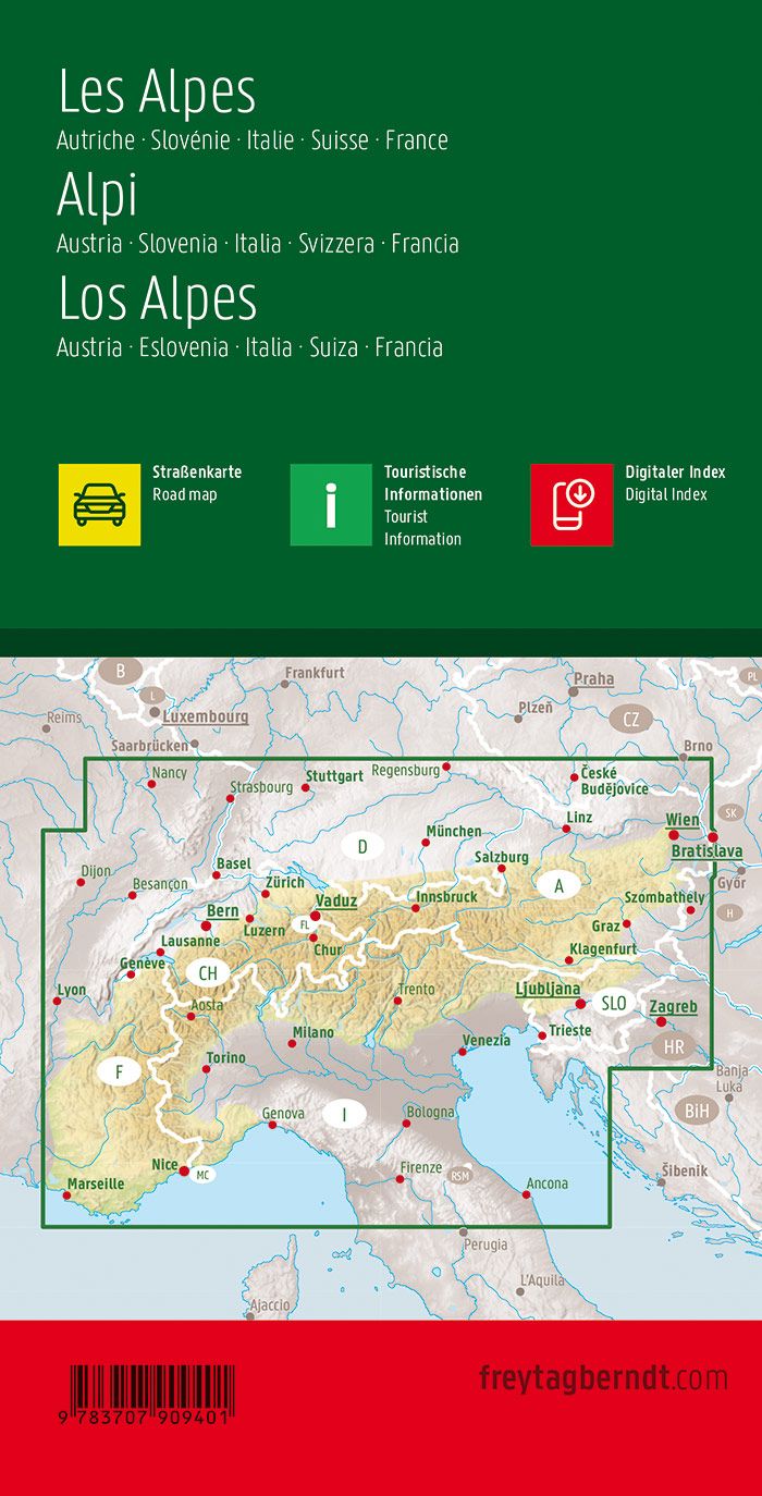
Related geographic locations and collections: Alps, Auvergne-Rhône-Alpes, IGN - Maps of the regions of France