Ordnance Survey-Discoverer series (Northern Ireland)
18 products
Over 19,000 maps and travel guides, hiking maps, posters, globes and decorative products in stock!
Over 19,000 maps and travel guides, hiking maps, posters, globes and decorative products in stock!
18 products
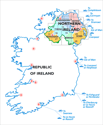
A series of topographic maps of Northern Ireland in 1/50,000 (1 cm = 500 m). Different types of forests are shown with a color code. Indication of local trails and steep slopes. The rail network is presented with stations. The marked trails and the cycle paths of the "Sustrans" network are highlighted. Other tourist information is included such as campsites, youth hostels, stations, etc.