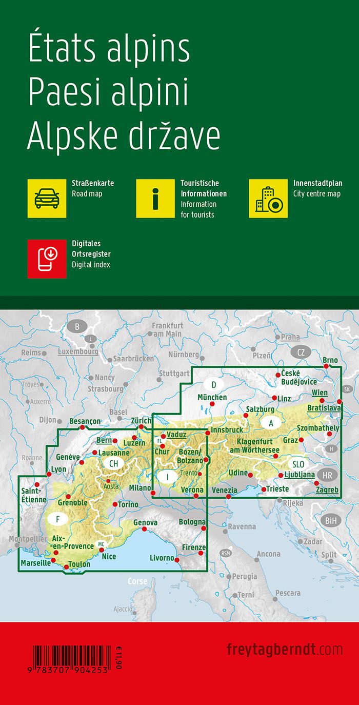
Hiking Guide - GTA The Great Crossing of Italian Alps (across Piedmont to the Mediterranean) | Rother (French)
Hiking Guide - GTA The Great Crossing of Italian Alps (across Piedmont to the Mediterranean) | Rother (French)
Regular price
19,95 €
- Shipping within 24 working hours from our warehouse in France
- Delivery costs calculated instantly in the basket
- Free returns (*)
- Real-time inventory
- In stock, ready to ship
Related geographic locations and collections: Alps, Dolomites & Italian Alps (all hiking), GR5 (GTA) : La Grande Traversée des Alpes (620 km), Italian Alps & Dolomites - Hiking Guides, Italy, Travel guides & practical guides