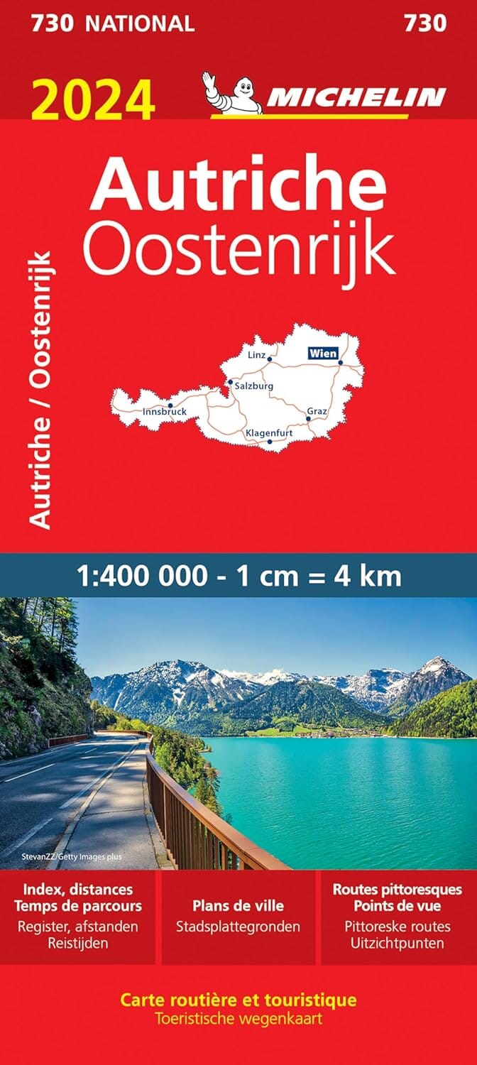
Road Map - Upper Austria | Freytag & Berndt
Road Map - Upper Austria | Freytag & Berndt
Regular price
12,90 €
- Shipping within 24 working hours from our warehouse in France
- Delivery costs calculated instantly in the basket
- Free returns (*)
- Real-time inventory
- Low stock - 2 items left
Related geographic locations and collections: Austria, Upper Austria