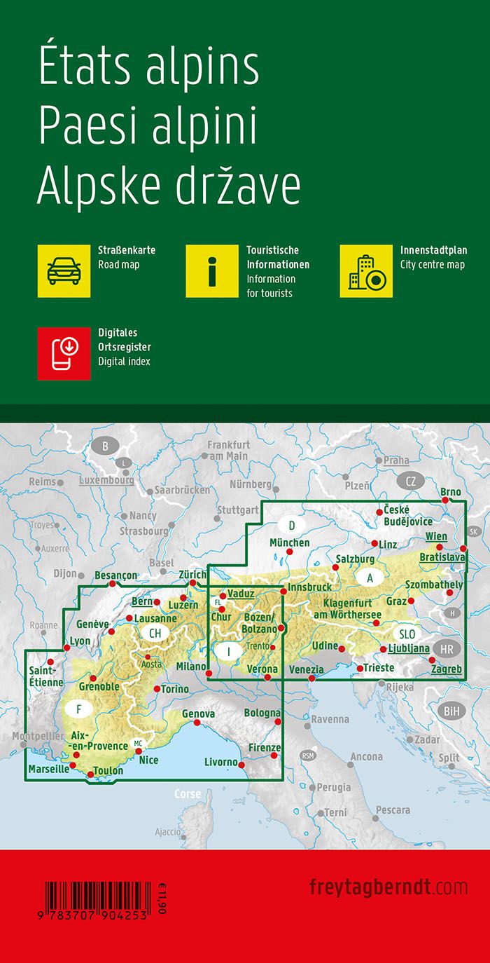
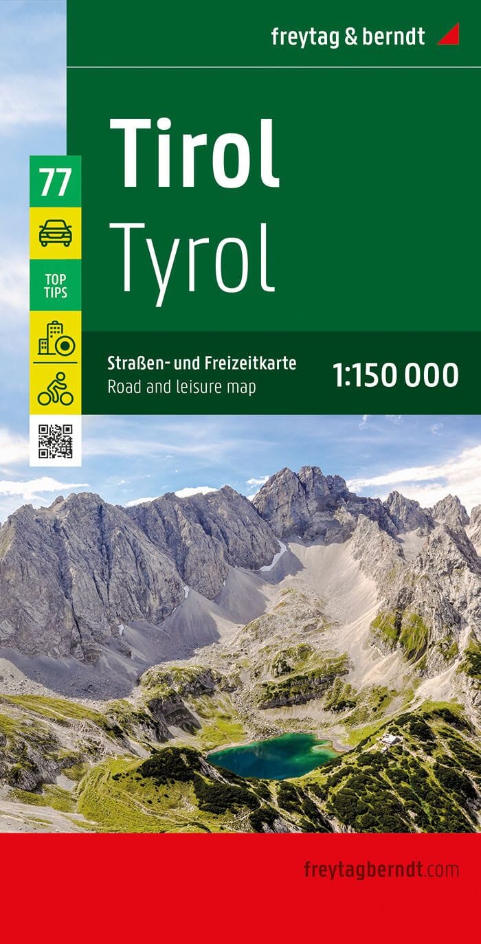
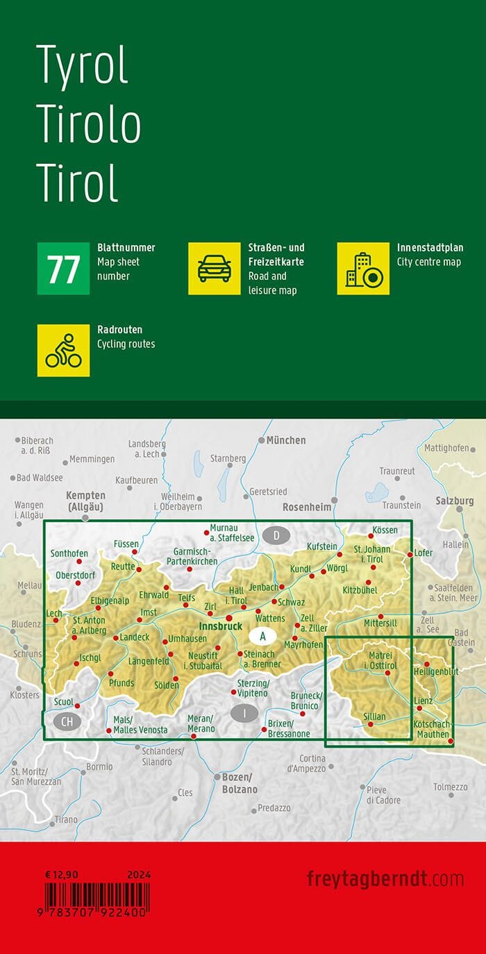
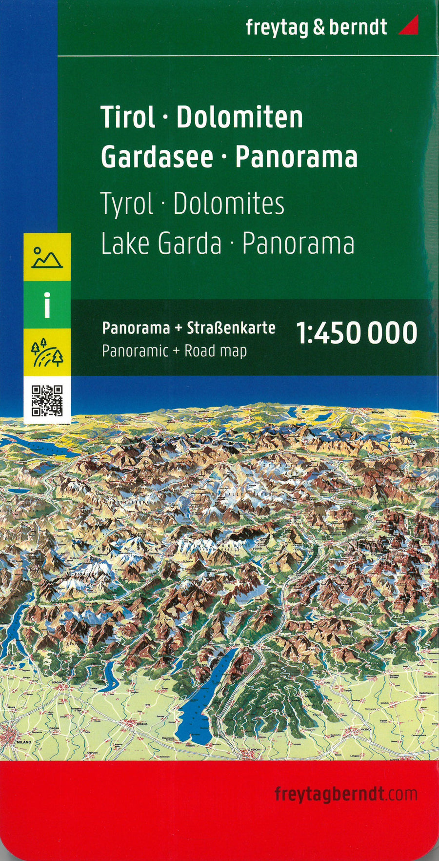
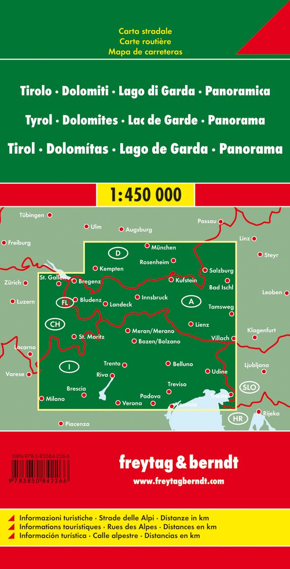
E5 Hiking Map - Lake Constance in Verona | Kompass
E5 Hiking Map - Lake Constance in Verona | Kompass
Regular price
12,60 €
- Shipping within 24 working hours from our warehouse in France
- Delivery costs calculated instantly in the basket
- Free returns (*)
- Real-time inventory
Related geographic locations and collections: Austria, Germany (hiking guidebooks), Italy, Kompass - Hiking maps of the Swiss Alps, Kompass 1:50,000 - Hiking Maps of Southern Germany, Austria, Alpine Arc, Lake Constance, Switzerland, Verona