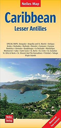
Carte routière - Caraïbes (incluant l'Amérique Centrale, Iles Vierges & Bahamas) | Kasprowski carte pliée Kasprowski

Road Map - Caribbean (including Central America, Virgin Islands & Bahamas) | Kasprowski

Road Map - Caribbean (including Central America, Virgin Islands & Bahamas) | Kasprowski

Regular price 16,50 €
/
  • Shipping within 24 working hours from our warehouse in France
  • Delivery costs calculated instantly in the basket
  • Free returns (*)
  • Real-time inventory
  • In stock, ready to ship
  • Backordered, shipping soon
Tax included.
This map (scale 1 / 4.000.000) includes all the Caribbean islands - the large and small penetrates, the Virgin Islands and the Bahamas. Central America is covered with Yucatan and Guatemala in Panama. All Florida is also represented, and the coastal regions of Colombia and Venezuela. The map is detailed as no other map in this region on the market. Sold folded, its large unfolded format is 67 cm x 98 cm.
This map also contains other main features:
- Enlarged inserts of the Panama Canal and 36 Caribbean Islands.
- More than 100 stops of cruise lines.
- large cities, main roads, national and international airports, lighthouses, reefs, national parks, ports, volcanoes and other places of interest.
- International borders.


ISBN/EAN : 9791095793007
Publication date: 2016
Scale: 1/4,000,000 (1cm=40km)
Folded dimensions: 22.5 x 12.5cm
Unfolded dimensions: 67 x 98cm
Language(s): English
Poids : 89 g

Customer Reviews

No reviews yet
0%
(0)
0%
(0)
0%
(0)
0%
(0)
0%
(0)